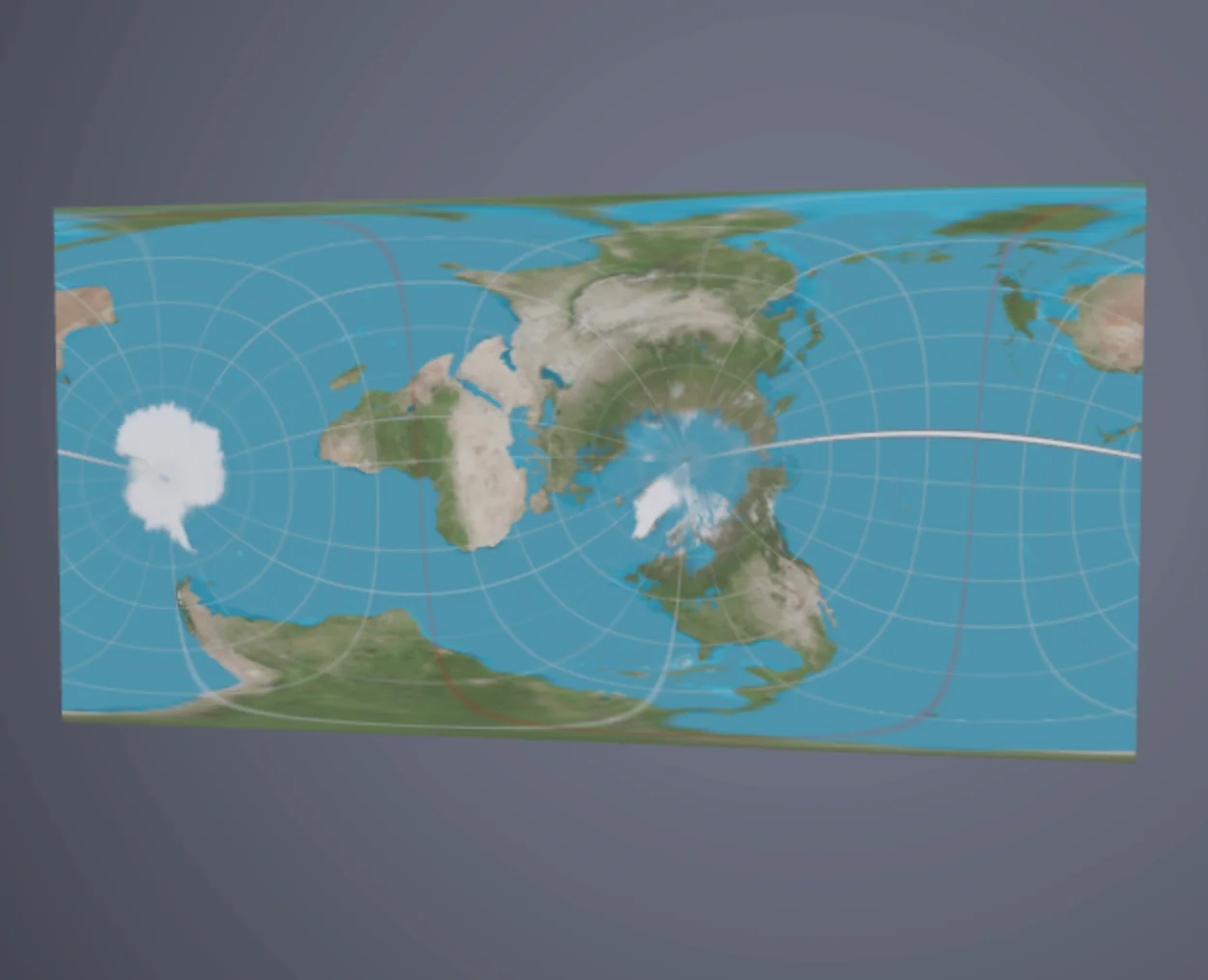
Equirectangular projection of the earth, but not always from the north pole.
The equirectangular projection maps longitude and latitude directly to horizontal and vertical coordinates on a flat rectangle. It is one of the simplest map projections and neither preserves area nor angles, but its straightforward construction makes it a common starting point for understanding map distortion. The visualization shows how a grid on the sphere deforms under this projection.
Controls: Click and drag to orbit, scroll to zoom.